DX8DX
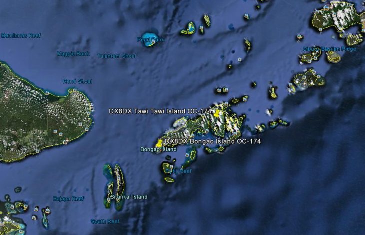
Bongao Island (OC-174)
09th to 11th April 2013
Request DX8DX Qsl card here
Bongao is a 2nd class municipality in the province of Tawi-Tawi, Philippines.
According to the 2000 census, it has a population of 58,174 people in 10,146 households.

Before the armed rebellion of the MNLF in the early 1970s, Bongao was merely a backwater village ruled by the prominent noble Halun family, who used to own about three-quarters of the island. The capital of the province was Bato-Bato in the mainland situated in a cove with deep waters suited for anchors of the Philippine Navy.

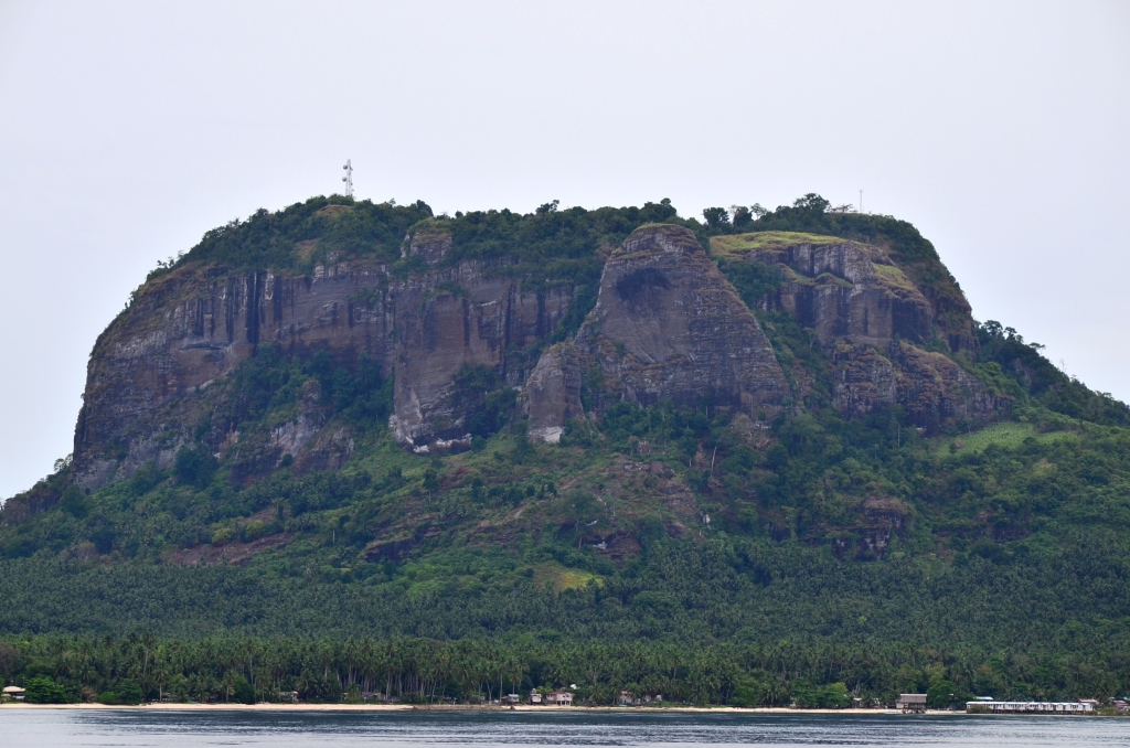
At the height of the armed rebellion and fearing that the provincial capitol might be overrun, the government transferred it to Bongao. The white-washed, Taj Mahal-inspired provincial capitol building is located on a hill overlooking the bay and the whole town to the North of the Island against the backdrop of Mount Kabugan and the famous Bud Bongao (Bongao Peak).

Tawi-Tawi was previously part of the province of Sulu. On September 11, 1973, pursuant to Presidential Decree No. 302, the new province of Tawi-Tawi was officially created, separate from Sulu. The seat of the provincial government was established in Bongao.
The name of Tawi-Tawi is a projection of the Malay word “jauh” meaning “far.” Prehistoric travelers from the Asian mainland would repeat the word as “jaui-jaui” to mean “far away” because of the distance of the islands from the continent of Asia. The word “Tawi-Tawi” was picked up to later become the official name of the province.
images courtesy of Google Earth info Wikipedia

