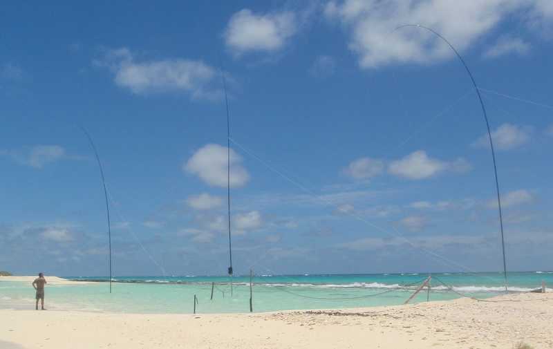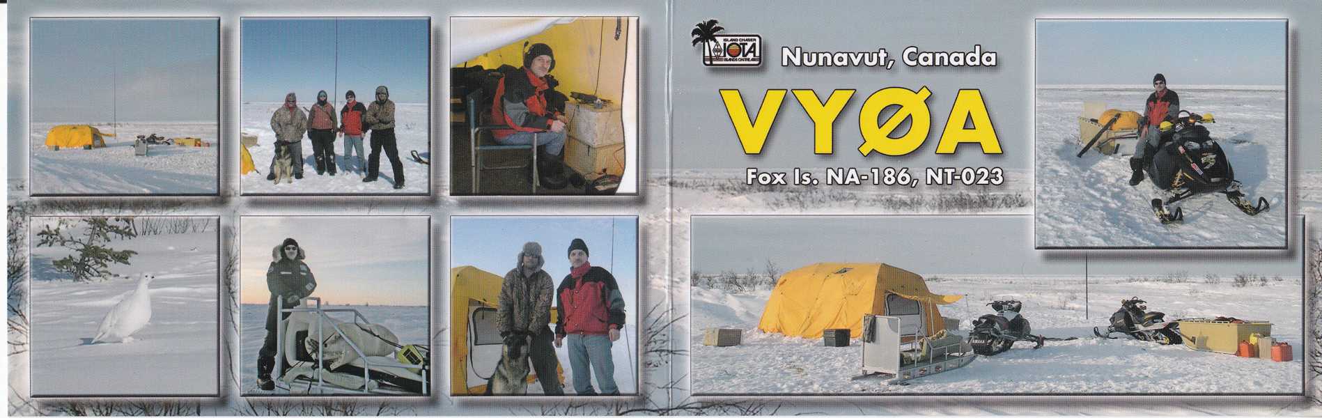
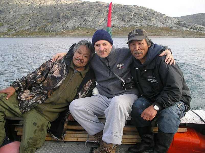
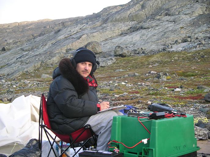
Dealing with the latter two activations, Fox Island, Nunavut, Canada is located in the Hudson Bay 40Km East of Churchill, Manitoba. It is 4Km away from the mainland itself. At low tide an large number of Islands become visible where birds nest, seals, whales and other large animals are in abundance and this is why it is given the name ‘Polar Bear Capital of the World’. 3,600 qso’s were made from this location in the 66 hours of the operation giving stations from 61 DXCC’s the opportunity of the new IOTA.
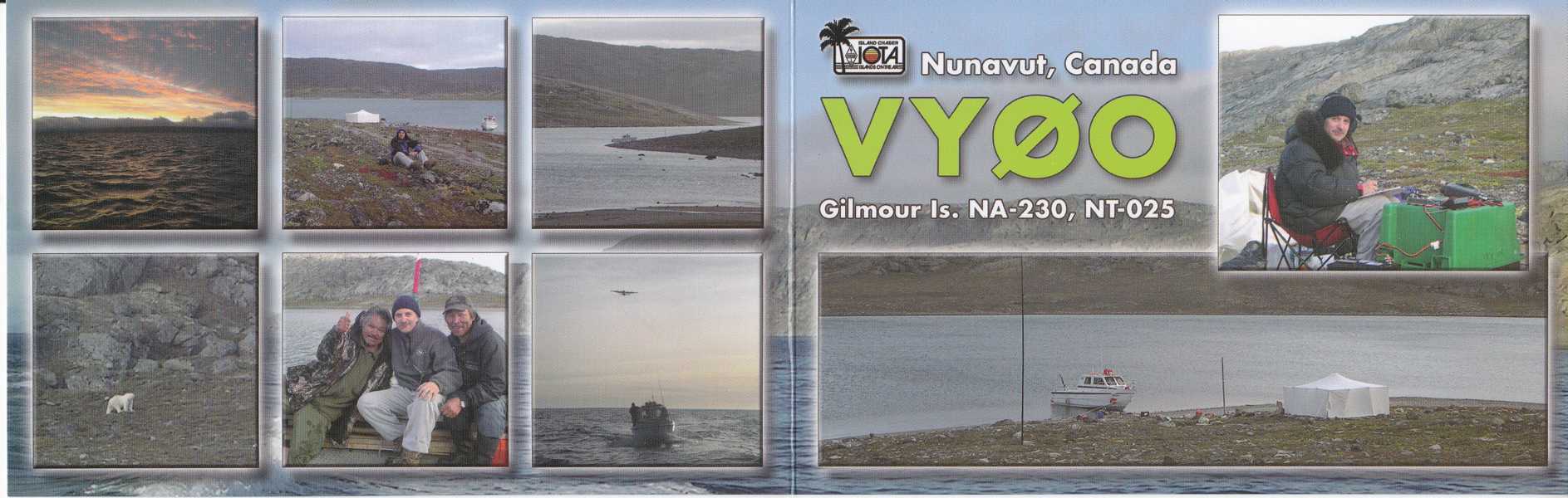
Gilmour Island is 160Km West of Puvirnituq, Quebec and again, it is also in the Hudson Bay and part of the Ottawa group of Islands. Qso count for this Island was 3,087 and 66 DXCC’s worked despite being hampered with 80kmh winds and temperatures of below 0’ C.
….Recent update (tnx http://dx-hamspirit.com/ )
It appears that another trip is in the planning for 2010 too. Most keen IOTA chasers will be aware of the failed attempt by Ken G3OCA and himself to activate East Pen Island, Nunavut, NA-231 (Zone 4) back in 2007.
Having listened to his report at the HFC Wyboston it appeared that they were beset by problems, many of which were to do with the weather and indeed the indigenous persons fwho lived in the areas of interest to them. This in turn affected transport etc and as the unfortunate saga continued to drain away at their money and resources they had several wasted days before they had no option but to call it a day and return home.
For three days during the period March 26 – 31, 2010, Cezar will attempt again to activate this all time new IOTA. Intended callsign will be VY0V, which will be applied for in due course. At this time, Cezar is looking for group and individual donors who understand and appreciate the nature of this difficult project and are willing to join in the effort. Support for this project is welcome via PayPal at [email protected]
Thanks for the new ones (#459 & #460) Cezar, an outstanding achievement on all counts!
73 de Charles….


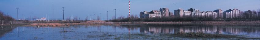
 The low pastures and ponds surrounding the old lighthouse (De Vuurtorenweiden) are in distinct contrast to the new, more westerly artificial plateau (De Sashul) which itself stands a full 5 metres higher. They are seperated by the ‘Barnse Vaartje’, a tree-lined drainage ditch carrying run-off from the coastal road.
 of the ‘Sashul’ is therefore very similar to the natual physical environment of the young, calcaerous coastal dunes. This can be sen very clearly from the vegitation. The shallow depressions which are mainly flooded in winter and spring, and dry in late summer, are covered with a pioneer vegitation mostley found in moist dune valleys. Here you can find ‘knotted pearlwort’, ‘lesser centaury’ and ‘brookweed’ along with species remeniscent of the salty origin of the raised sand : ‘sea pearlwort’, ‘strawberry clover’, ‘buck’s-horn plantain’ and ‘sea aster’. the moderatly or very dry ‘dune’ ridges are covered with
 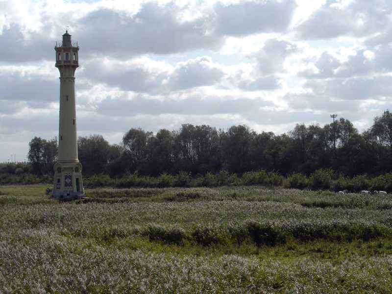 dune grassland vegitation with ‘rue-leaved saxifrage’, ‘sea mouse-ear’, ‘lesser hawkbit’, ‘bird’s foot-trefoil’ and ‘field modder’.
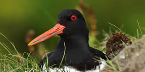 Nevertheless the inconspicuous ‘jacksnipe’ often stops here to feed whilst his much sturdier cousin, the ‘woodcock’, takes a rest in the undergrowth and bushes. From early spring to midsummer the shallow pools and surrounding open land covered in short grass witness an explosion of insect life, which in turns attracts many feeding birds. The shingle beaches around the pools become very popular with the ‘little ringed plover’ and the ‘pied wagtail’, whilst the short vegetation of the banks and shallow pools attract meadow birds (‘northern lapwing’), coastal birds (‘oystercatcher’ and ‘common redshank’) and water birds (‘mallard and coot’).
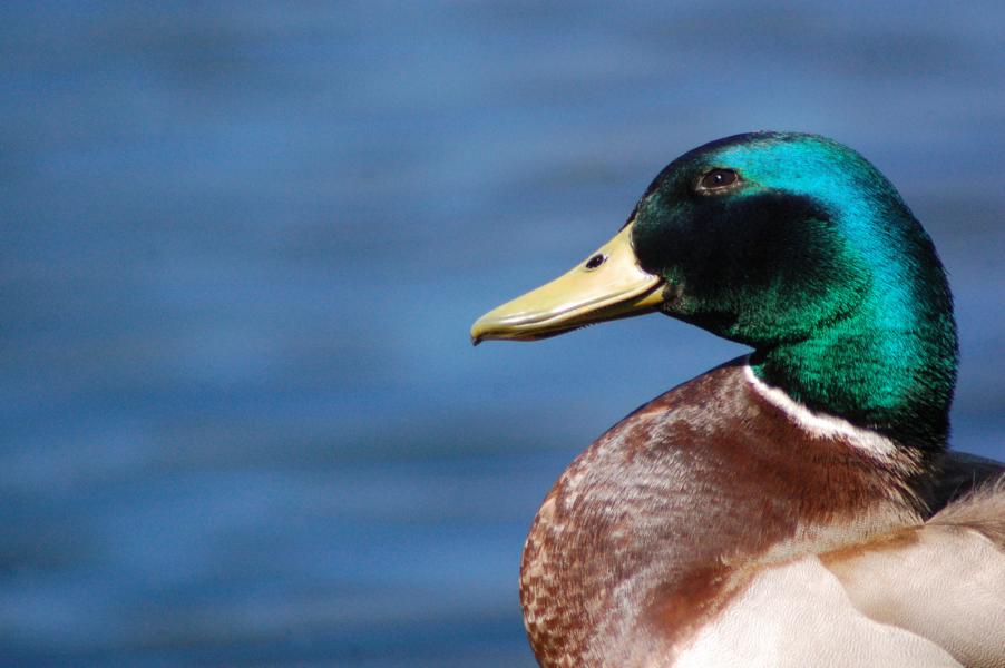 ‘Sashul’ and help to keep the grass cropped short. Their natural enemy the weasel is also present.
 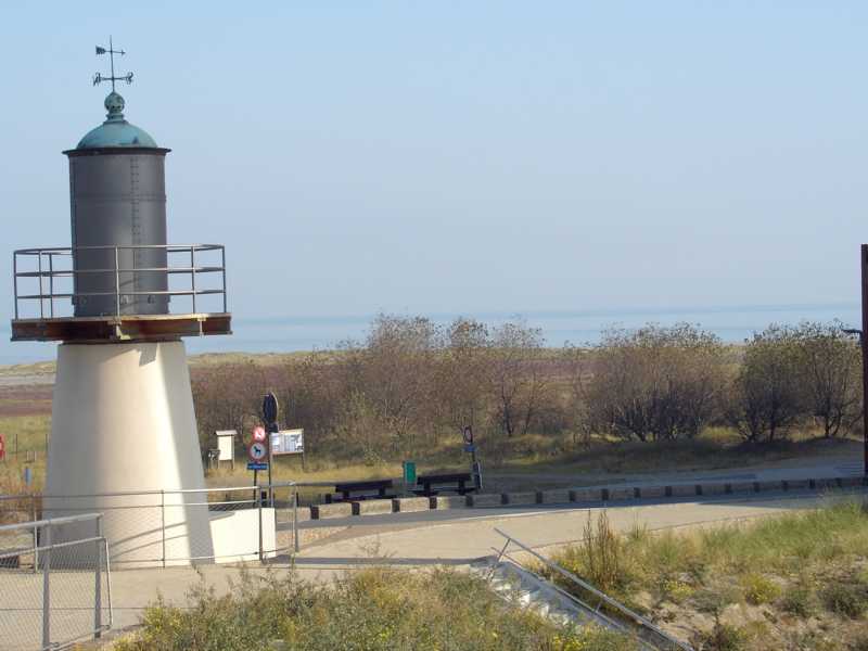 including the ‘common toad’, ‘common frog’, ‘european water frog’ and ‘smooth newt’.
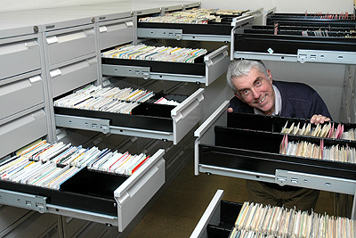
 If you would like to see more information of the DX Trips undertaken by Nigel and maybe more about his amazing collection of Qsl Cards then please visit his personal website by clicking on the link below:-
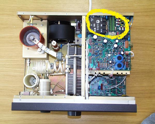
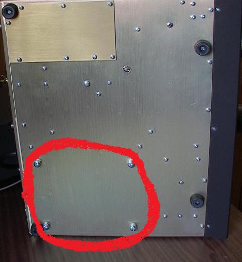
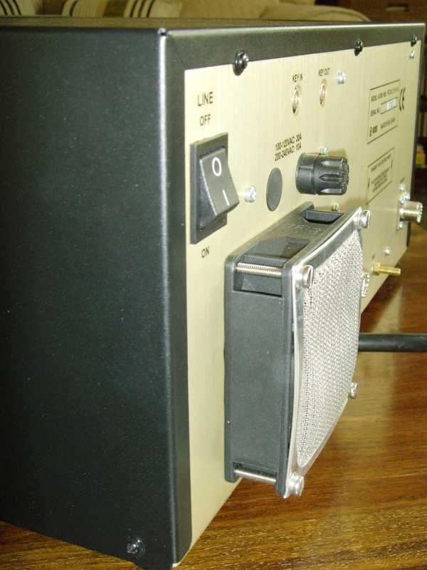 transformer is out you will see that you have a large amount of room now so you can manoeuvre about with ease. Next step is to remove the grill from the rear ventilation space. Just undo the four small screws and remove it.
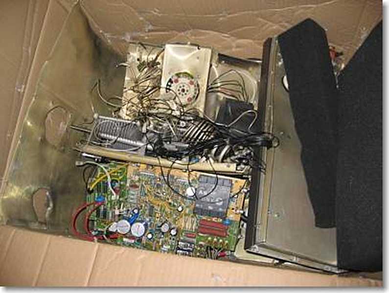


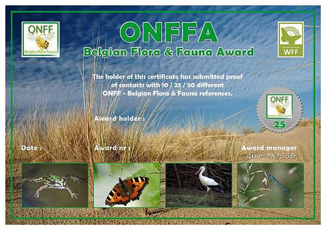
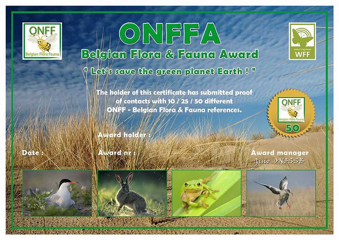
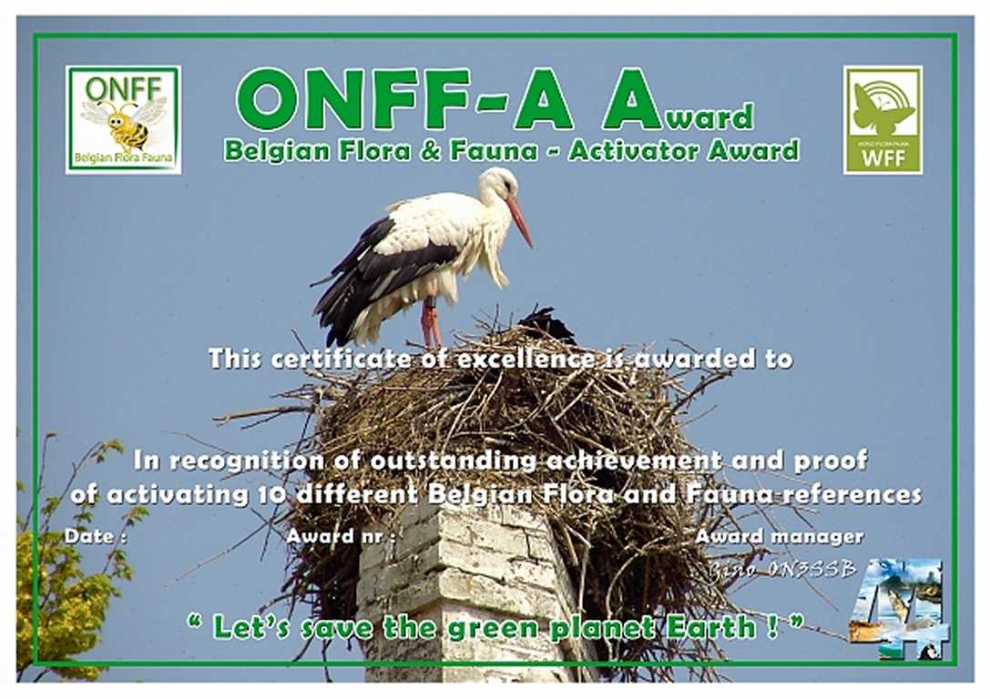
 Please keep an ear to the radio and an eye on the cluster and when you hear the ONFF team please give them their support.