|
Year |
Number of DXCCs |
Number of QSOs |
QSOs as Percent |
||||||||||
|
2009 |
205 |
5013 |
CW: 11.63% |
||||||||||
|
2008 |
161 |
4465 |
CW: 1.05% |
||||||||||
|
2007 |
154 |
1143 |
CW: 0.96% |
||||||||||
|
2006 |
197 |
4814 |
CW: 0.00% |
||||||||||
|
2005 |
191 |
6736 |
CW: 0.00% |
||||||||||
|
2004 |
143 |
3849 |
CW: 0.03% |
||||||||||
|
2003 |
133 |
2397 |
CW: 0.00% |
||||||||||
|
2002 |
53 |
298 |
CW: 0.00% |
||||||||||
|
2000 |
1 |
1 |
CW: 0.00% |
||||||||||
|
Total: |
284 |
28716 |
CW: 2.24% |
||||||||||
The event this year is set to be as good if not better than previous years with many more stations advising the team of their intended participation.
WAP (World Antarctic Programme) is the main body that coordinates all activity as well as being the focus of attention as regards the Awards program.
The only UK station to participate is ‘GBØANT’ operating in reference number ‘WAP-Ø72’ and this station will be qrv from the 15th February until 7th March inclusive on SSB, CW and Digital Modes.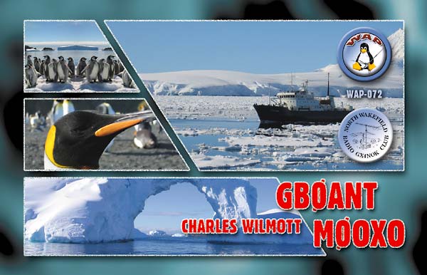
73 & Happy New Year…..Charles
WAP – Ø98
March 2007 to March 2009 (Currently in-active, Qsl’s still available)
contacts with GB4IPY are still available )
The Official Opening Ceremony to launch International Polar Year 2007-2009 will take place at the Palais de la Découverte, a famous science museum in central Paris. The event will start at 11.00 Central European Time (CET) with a press conference, followed by a buffet lunch. The co-sponsors of IPY, the International Council for Science (ICSU) and the World Meteorological Organization (WMO) are hosting the event. A detailed programme will be available in January
IPY, organized through the International Council for Science (ICSU) and the World Meteorological Organization (WMO), is actually the fourth polar year, following those in 1882-3, 1932-3, and 1957-8. In order to have full and equal coverage of both the Arctic and the Antarctic, IPY 2007-8 covers two full annual cycles from March 2007 to March 2009 and will involve over 200 projects, with thousands of scientists from over 60 nations examining a wide range of physical, biological and social research topics. It is also an unprecedented opportunity to demonstrate, follow, and get involved with, cutting edge science in real-time
Above – In early January 2005, it appeared that the B-15A iceberg was on a collision course with the Drygalski Ice Tongue, the floating portion of a glacier flowing off the Scott Coast of Antarctica and into the Ross Sea. Scientists and amateur Earth-observers checked satellite images of the region each day to monitor the northward march of the berg and to witness the impacts. Would it be just a fender bender, or would the ice tongue shatter under the impact of the oncoming berg?
However, in mid- to late January, the berg’s forward progress appeared to have literally ground to a halt on the floor of the shallow coastal water, having come within just a few kilometers of collision with Drygalski. This image, acquired by the Terra MODIS instrument on February 7, 2005, shows just how close the two icy giants came to each other. The Drygalski Ice Tongue points eastward from the upper left portion of the scene, while the B-15A iceberg lies at a southeastern diagonal at image center. Between these two and the coast is a field of trapped sea ice that under normal circumstances would have broken up and drifted off to melt in the Ross Sea at upper right
The tranquility of this Continent is amazing and having scenes like this surely make us want to preserve it as long as possible. Maybe things will c hange only a little in our lifetimes but for our Children and future generations, its a far more worrying prospect
Above – Falling temperatures in the Southern Hemisphere mean growing ice in Antactica’s Ross Sea, as shown in this true-color Aqua MODIS image from March 21, 2005. Sea ice continues to be blocked in McMurdo Sound by the B-15A iceberg, while the ice is now extending out into the open sea, hiding the deep black waters. Between B-15A is the oblong C-16 iceberg, which is to the left of the round B-15J iceberg. C-16, along with B-15A, is responsible for blocking much of the ice in the Sound
Finnish researchers are currently doing research on a BLUE ICE (see below) AREA about 200KM from Aboa, the Finnish Researh Station. The main goal of the Expedition is to collect approx. 500-1 metre long horizontal ice cores for climate history studies. The ice cores will be analysed for Finnish Ions. Other experiments will look at the dust content and electric conductivity of the ice using different methods such as Lasers
What is Glacial Blue?
Blue ice occurs when snow falls on a glacier, is compressed, and becomes part of a glacier that winds its way toward a body of water (river, lake, ocean, etc.). During its travels, all of the air bubbles that are trapped in the ice are squeezed out, and the size of the ice crystals increases, making it clear.
The blue color is often wrongly attributed to Rayleigh scattering. Actually, the ice is blue for the same reason water is blue. Namely, it is a result of an overtone of a OH molecular stretch in the water which absorbs light at the red end of the visible spectrum
United Kingdom
Royal Society, London, February 26, 2007
The UK will be celebrating the launch of IPY with a special event at the Royal Society. A press conference will be followed by an official opening by Royal Society president, Lord Rees, a guest presentation by HRH the Princess Royal and presentations by leading polar scientists. Messages from the poles and supporters of IPY will be shown
Above – shows the Klyuchevskaya volcano on Russia’s Kamchatka Peninsula erupting on March 24, 2005. On top of both Klyuchevskaya and Sheveluch, its northern neighbor, the Camera detected a thermal hotspot over the crater, an indicator that molten rock is near or on the crater’s surface.
Above – Elephant’s Foot Glacier. At around 81° N along the east coast of Greenland. The grey zone at low elevation is the ablation zone incised by meltwater channels, clearly separated from the white surface accumulation zone higher up
Above – Russia’s Kamchatka Peninsula, called the land of glaciers and volcanoes, is home to two erupting volcanoes: Klyuchevskaya and Shiveluch. Both are on the central eastern side of the peninsula, with Shiveluch to the north, and Klyuchevskaya to the south. This MODIS image shows the entire peninsula, and was acquired on March 8, 2005. Klyuchevskaya’s eruptions have been intense – the lava and explosions are rapidly melting large sections of Eherman Glacier, and the volcano is sending “volcanic bombs” hundreds of meters into the air. Volcanic bombs are pieces of lava larger than 64 mm (roughly 2.6 inches) in diameter.
Right – The largest remaining piece of one of the largest icebergs ever observed began to crumble on October 28, 2005, after running aground off Antarctica’s Cape Adare. The B-15A iceberg is the main body of the B-15 iceberg, which broke from the Ross Ice Shelf in March 2000. When it first formed, the massive berg measured 270 kilometers long by 40 kilometers wide (170 by 25 miles), making it about the size of the state of Connecticut. By November 5, 2005, the berg had dwindled to a still respectable 110 by 20 kilometers (70 by 13 miles).
This is not the first time that B-15A has shed pieces. Several pieces broke off between 2000 and 2005; but unlike previous events, the iceberg broke in several locations in October 2005. The Moderate Resolution Imaging Spectroradiometer (MODIS) sensors on NASA’s Aqua and Terra satellites captured the iceberg’s break-up in the above series of images. On October 27, there was no sign, no faint cracks or lines, that indicated that the iceberg was under stress. But a few hours later, MODIS captured the upper-right image, showing that two slivers (the largest of which merited its own name, B-15M) had broken from the berg. By November 1, the lower-left half of B-15A had broken away to form B-15N, and several smaller pieces had been chiseled off both sides of B-15A.
The currents that pulled the iceberg apart tugged B-15A around Cape Adare, leaving its daughter bergs behind. On November 4, the shrinking berg was moving out of the Ross Sea on the East Wind Drift, an ocean surface current that circles Antarctica counterclockwise. The iceberg’s departure was, no doubt, a relief to denizens of the Ross Sea region. From 2000 to 2003, the iceberg lurked off Ross Island, the location of the U.S. Antarctic Program?s McMurdo Research Station. In 2004, the berg began to drift north, trapping sea ice in McMurdo Sound. The excess sea ice stranded penguins, who could not reach open water and return with food for their young. The shifting berg also made planning a shipping route through the ice to McMurdo Station difficult.
Below – Supply drop on Peter 1st Island, Antarctica
Above – ” Can we have one Dad? ”
Below – Shifting Icebergs
Below – Aurora over the Mars Base
”What’s happening?……”
…..Denmark
Danish Polar Centre, March 1, 2007
Denmark, the Faroe Islands, Greenland and Iceland will join forces in celebrating IPY. VIPs from the four countries, including His Royal Highness, Crown Prince Frederik of Denmark, as well as researchers and the public will participate in the event. The program includes popular science talks, entertainment and a polar exhibition at the North Atlantic House in Copenhagen
Above – beautiful shot of the Alaskan Peninsula. In this spectacular image from November 7, 2001, the skies are clear over Alaska, revealing winter’ advance. Perhaps the most interesting feature of the image is in its center; in blue against the rugged white backdrop of the Alaska Range, Denali, or Mt. McKinley, casts its massive shadow in the afternoon sunlight. At 20,322 ft (6,194m), Denali is the highest point in North America.
WorldWide Antarctic Program
http://www.waponline.it/
Above – Colour photo of South Georgia Island on the 8th of August 2002.
An interesting pattern of clouds swirls around South Georgia Island in this true-color MODIS image acquired August 8, 2002. This tiny, isolated island is located in the South Atlantic Ocean and is covered in winter snows. Closer inspection of the image reveals what may be a phytoplankton colony off in the waters surrounding the island. Many phytoplankton species thrive in cold, relatively low nutrient waters such as these. Sunlight reflecting off of the chlorophyll in the phytoplankton causes them to appear blue-green.
Low-lying clouds surround the tiny island and reveal wind currents and pressure systems that are normally invisible to the human eye. In this image, wind is blowing northeast, creating a higher-pressure bank of clouds along the island?s southwest coast. The island itself acts as a wall, forcing most of the winds to move around it instead of straight over. On the other side of the island the pressure is much less, allowing for the tiny bit of clear sky that shows the phytoplankton and ocean. However, the momentum of the wind?s movement causes it to curl back inwards towards the island center, drawing with it the clouds to make a heavy peninsula.
Below – Sea ice, sediment, and phytoplankton abound in this true-color Terra MODIS image of Foxe Basin acquired August 1, 2002. Foxe Basin separates Baffin Island (right) from Nunavut Canada (left) and is separated from the Hudson Bay by Foxe Channel (bottom). Toward the middle right edge of the Basin is Prince Charles Island. Prominent in the image are large amounts of melting sea ice that create peculiar patterns and textures. Many of the islands and shorelines seem to have glowing turquoise haloes. Most of the haloes are due to sediment and silt in the water reflecting sunlight, but some farther out in the water is likely due to the presence of phytoplankton, which thrive in cold, nutrient-rich waters such as these. The chlorophyll in the phytoplankton reflect the sunlight and appear blue-green in color.
Frankfurt Airport opened today after closing yesterday evening. The Italian government sent 800 soldiers to help dig out Milan after heavy snows blocked highways and disrupted air and rail travel, Corriere della Sera reported today.
The U.K.’s Automobile Association Ltd. said yesterday was “easily the worst day” it has had in 10 years, with almost 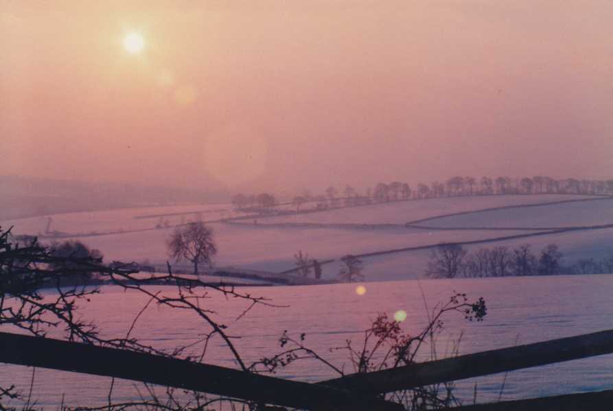 22,000 jobs for the vehicle-rescue service. Special teams have been deployed to the worst-affected areas to help people stuck in remote places, and members out on the roads are being made a priority, AA head of public affairs, Paul Watters.
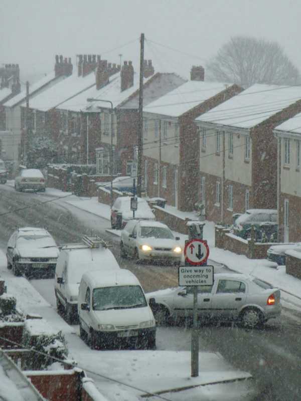
This morning was slightly better with a low of -3C but again, many many roads still covered in black ice and driving treacherous. Daytime temperatures are forecast to increase to above freezing for the first time in over a week but i doubt its the last we’ll see of the Snow. (Photo left taken from High Hoyland Barnsley looking towards Barnsley Town.)
Whatever the weather, have a great Christmas keep warm, keep safe and here’s hoping you have a peaceful 2010.
73 de Charles…
Charles
We woke this morning to the sight of the first snowfall this Winter. Locally we had between 1 and 3 cm of Snow on the ground whereas just one mile away from here they saw 6 to 8 cm of snow lying on the ground. Forecasters say it is the heaviest and most widespread snow for six years with more Southern Counties of England seeing considerably more.
Temperature at my QTH dropped to minus 4.6 during the latter part of the night. Snowstorms are expected to hit south-eastern England through Sunday and into Monday morning, bringing the cold temperatures down further.
The authorities warn us that half of the UK’s local authorities only have enough road salt for six days of continuous freezing and that roads are likely to become death traps as a result. The motoring organisation AA said it understood councils had 250,000 tonnes less road salt in stock than they would have had a decade ago. Local Government Association said the suggestion councils were not ready was just ‘’scare mongering’’. 
The Highways Agency, which grits all motorways and some A-roads, said it was doing what it could to assist councils struggling to keep roads gritted. Severe weather warnings were issued for heavy snow in the North East, Yorkshire and Humber and the East Midlands.
Around 12cm of snow fell in parts of East Anglia, making driving treacherous. In past of Cambridgeshire, high winds caused snowdrifts to form. Teachers said they expected many schools to be closed – the last day of term – giving youngsters an extra day of Christmas holiday, fortunately not in Barnsley!
**See more local Photos in ‘Gallery’ under ‘Home QTH’
Well it’s taken a few years and a lot of help from others behind the scenes but this morning i was pleased to open a self-addressed envelope which i sent outward bound in 2005. Inside were paper Qsl Card confirmations of 10 DXCC’s and 2 of them being new IOTA. The cards were from World traveller and DXpeditioner Vladimir Bykov UA4WHX, from a trip he did around the Countries of Africa around 2005.
Vlad told us some time ago now :- ”Hello everyone! You must have been wondering if it is true. And the answer is – it is. It is all history now. For now – no more being on the air from Africa. I leave almost 310,000 QSOs behind me, 21 DXCC entities, almost 26 months of life, two radios gone and one finger missing. But I do have lots of people happy – that is what matters’’.
The Countries visited by Vlad can be seen from this impressive list of Callsigns:-
3D2VB 4K0VB 4L0B 5H3VMB 5R8VB 5W0VB 5X1VB 7P8VB 7Q7VB 9J2VB 9Q0VB 9U0VB 9X0VB 9X1AA 9X1CK 9X1KC 9X1NF A25VB A35VB AC4LN C21VB C91VB D20VB D60VB H40VB H44VV J20VB JA3ADW P29VVB ST2VB T20VB T30VB UA4WHX V31BV V51VV V63MB V73VV YJ0VB ZK2VB
Thanks to all the team behind the scenes who have managed to get the cards out and thanks once more goes out to Vlad for his excellent DX’
If you would like to see more of the Qsl Cards that have been received from Vladimir then please have a look in the Qsl Card section of the Gallery where most have been uploaded.

73 de Charles…
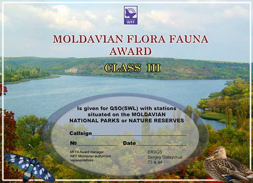
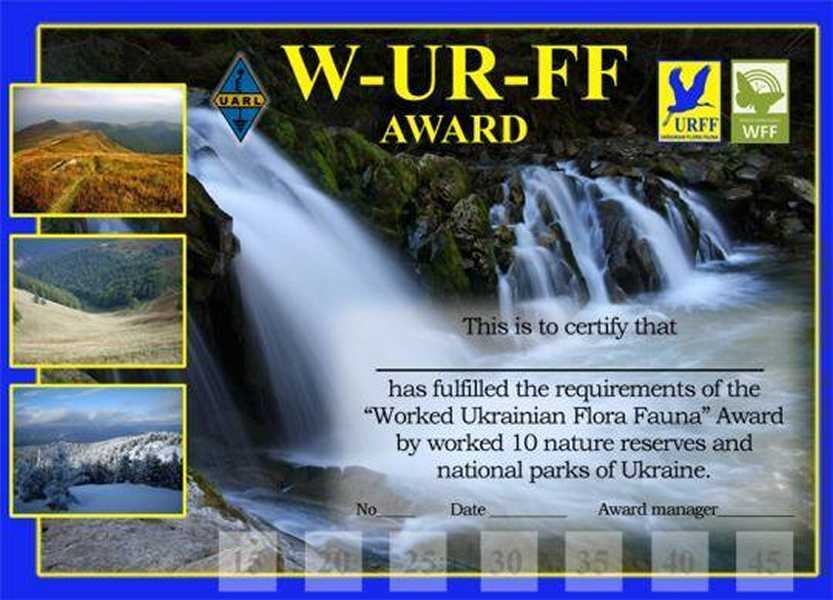
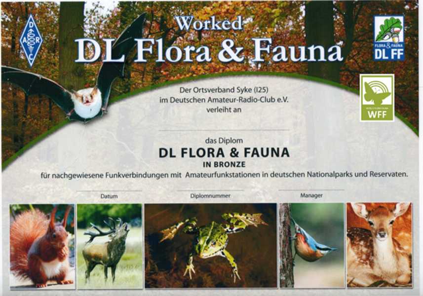
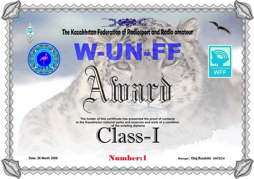
On this page i will list the other Countries that are currently taking part and are active in the World Flora Fauna Program.
email me here and i will add your links and information to the page.
I hope you find it both interesting and helpful – 73 de Charles
(Click on the images to go to their site!)

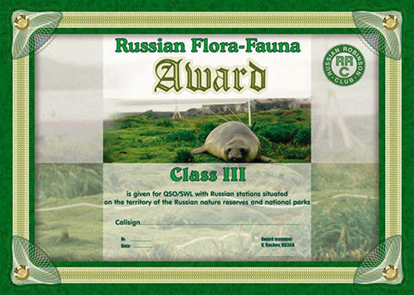
(No Award available at this time)
Belgium Flora Fauna
(No Award available at this time)
Portugal Flora Fauna
Poland Flora Fauna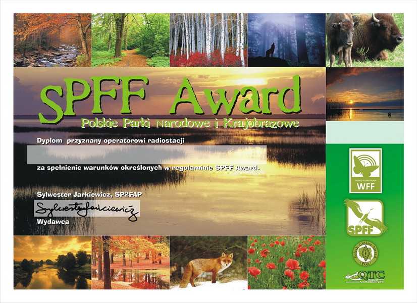
Belarus Flora Fauna
(No Award available at this time)
Romania Flora Fauna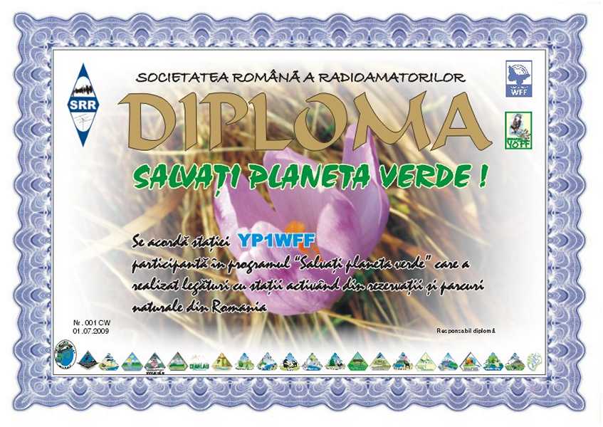
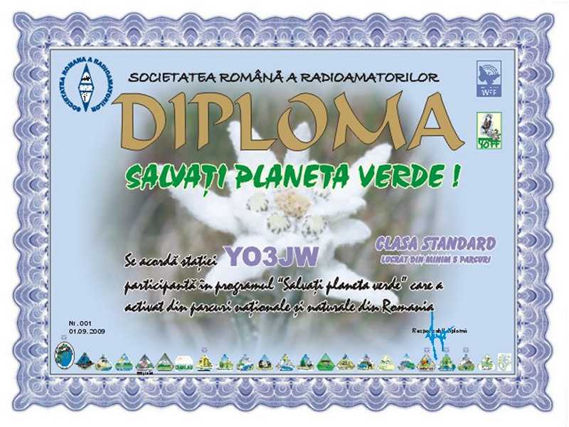
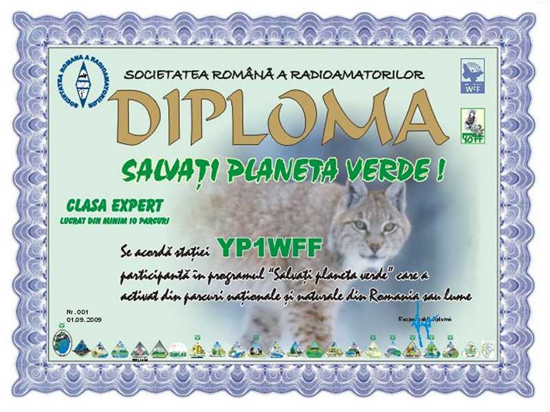
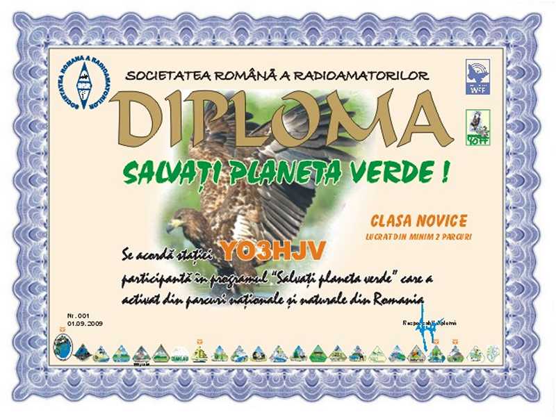
Bulgaria Flora Fauna
Hungary Flora Fauna
(No Award available at this time)
Australia Flora Fauna
(No Award available at this time)
Azerbaijan Flora Fauna
(No Award available at this time)
Croatia Flora Fauna
(No Award available at this time)
If you would like a link to your WFF page to be shown here then please click here and email me with the details.
Thanks, 73 de Charles…..
”LET’S SAVE THE GREEN PLANET EARTH”
There are approximately 15 ONFF areas, none of which have ever been activated. We hope to see some of them on air during 2010 but at this stage the planning is still in the early stages. Just to wet your appetite, here are some details and photographs of one of the areas –

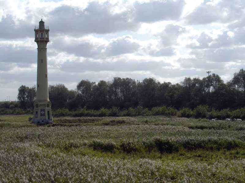
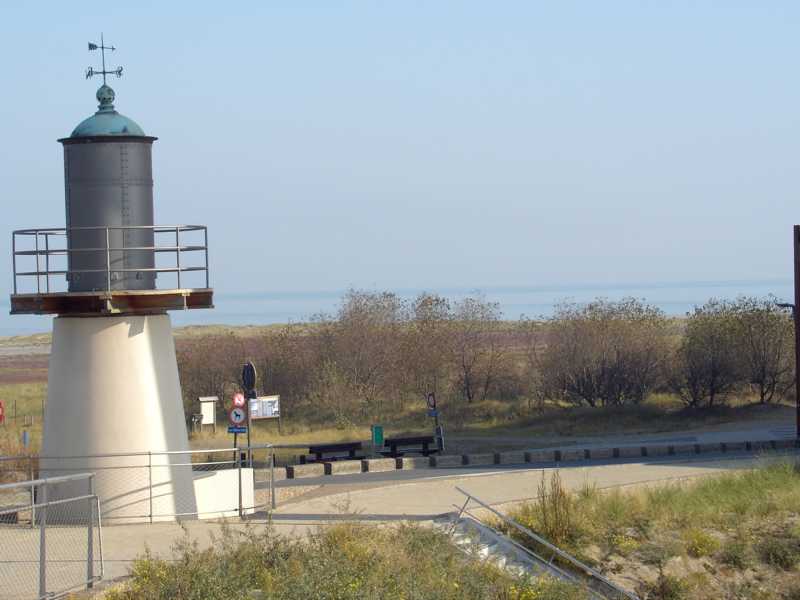
From the coastal road, a sharp contrast in landscape is immediately noticeable between Heist and Zeebrugge.
 The low pastures and ponds surrounding the old lighthouse (De Vuurtorenweiden) are in distinct contrast to the new, more westerly artificial plateau (De Sashul) which itself stands a full 5 metres higher. They are seperated by the ‘Barnse Vaartje’, a tree-lined drainage ditch carrying run-off from the coastal road.
‘De Vuurtorenweiden’ are a vestige of the historical polder grasslands of Heist and Ramskapelle. They have known a turbulent history: After a period of peat formation, silt was deposited where the sea broke through and flooded the area (3rd – 4th century) then, from the 11th Century onwards, the land was gradually reclaimed from the sea, and finally peat was extracted (from the Middle Ages, until the beginning of the 20th Century).
The raised soil of the ‘Sashul’ mainly consists of shell-rich calcareous sand. The -admittedly artificial -physical environment
 of the ‘Sashul’ is therefore very similar to the natual physical environment of the young, calcaerous coastal dunes. This can be sen very clearly from the vegitation. The shallow depressions which are mainly flooded in winter and spring, and dry in late summer, are covered with a pioneer vegitation mostley found in moist dune valleys. Here you can find ‘knotted pearlwort’, ‘lesser centaury’ and ‘brookweed’ along with species remeniscent of the salty origin of the raised sand : ‘sea pearlwort’, ‘strawberry clover’, ‘buck’s-horn plantain’ and ‘sea aster’. the moderatly or very dry ‘dune’ ridges are covered with
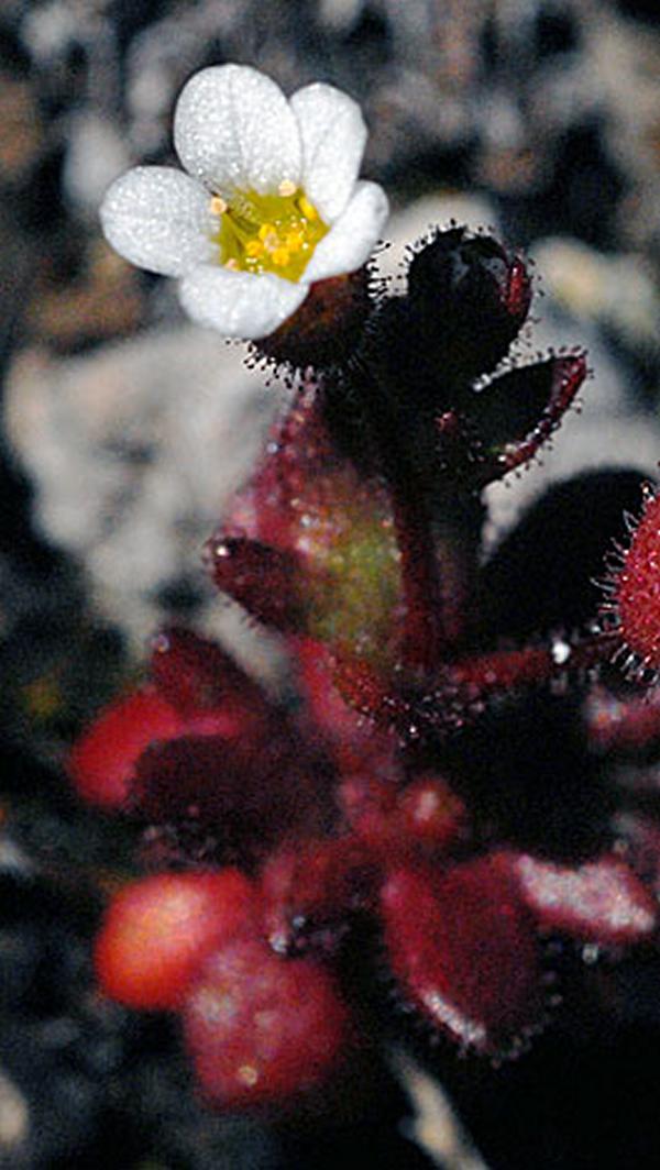
  dune grassland vegitation with ‘rue-leaved saxifrage’, ‘sea mouse-ear’, ‘lesser hawkbit’, ‘bird’s foot-trefoil’ and ‘field modder’.
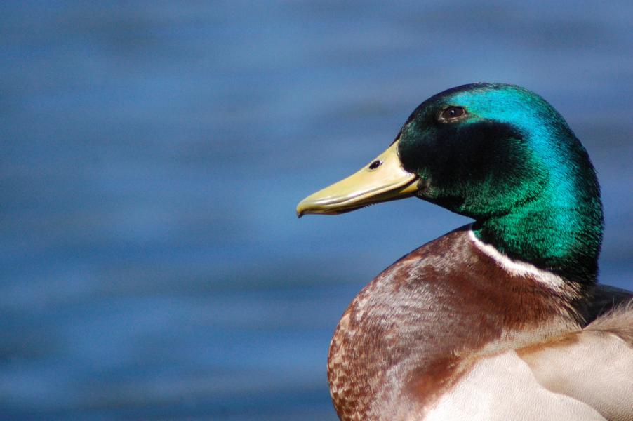
The Fauna – The ‘Vuurtorenweiden’ and the ‘Barnse Vaartjc’ do very well as nesting grounds for ‘water rail’, ‘moorhen’, ‘coot’, ‘mallard’, ‘reed bunting’, ‘reed warbler’ and ‘blue throat’ and since 2001 the ‘canada goose’. During the winter and migration periods the pools and water meadows around the old lighthouse are a favourite spot for quite a number of water birds including the ‘northern shoveller’, ‘common teal’, ‘gorgancy’, ‘godwall’, ‘mallard’, ‘common shelduck’ and ‘common snipe’.
During the winter the ‘Sashul’ looks rather desolate. The stoney sand bed of the pools contains too little food to attract many water birds and waders.
 Nevertheless the inconspicuous ‘jacksnipe’ often stops here to feed whilst his much sturdier cousin, the ‘woodcock’, takes a rest in the undergrowth and bushes. From early spring to midsummer the shallow pools and surrounding open land covered in short grass witness an explosion of insect life, which in turns attracts many feeding birds. The shingle beaches around the pools become very popular with the ‘little ringed plover’ and the ‘pied wagtail’, whilst the short vegetation of the banks and shallow pools attract meadow birds (‘northern lapwing’), coastal birds (‘oystercatcher’ and ‘common redshank’) and water birds (‘mallard and coot’).
Since the ‘Sashul’ lies on an important migration route for coastal birds, its thickets and bushes make an ideal resting place for many songbirds during the spring and summer migrations. Regular travellers on the open plain are the small ‘Turdidae’, ‘northern wheatear’ and ‘winchat’, ‘white pied flycatcher’, ‘firecrest’ and even ‘wryneck’mare regularly observed. Rabbits also thrive on the
 ‘Sashul’ and help to keep the grass cropped short. Their natural enemy the weasel is also present.
 Many amphibians have also been observed in the ‘Barnse Vaartje’, the ponds of the ‘Vuurtorenweiden’ and the ‘Sashul’,
 including the ‘common toad’, ‘common frog’, ‘european water frog’ and ‘smooth newt’.
 During the winter of 1999 – 2000 AMINAL -Nature division transformed the former goods marshalling yard into the ‘Sashul Nature Domain’.
Traces of the industrial occupation and illegal dumping were removed, pools deepened and relief added in the form of marram dunes made of sea sand. Clay-Shell footpaths, a bird observation hut and benches were also provided.
The previously planted exotic ‘white poplars’, whose root suckers endangered the valuable spontaneous vegetation, were removed and replaced with indigenous shrubs and trees.
Shetland Ponies keep the major part of the ‘Sashul’ landscape open by grazing. They are accustomed to a rough climate and a meagre diet due to them originating from the Shetland Islands. The ‘Vuurtoreenweiden’ are extensivly grazed by Cattle and Horses.
fulfilment as it does for me.
To contact the ONFF representative click here.
Tnx to : Ministerie van de Vlaamse Gemeenschap afdeling Natuur for allowing the use of text and material
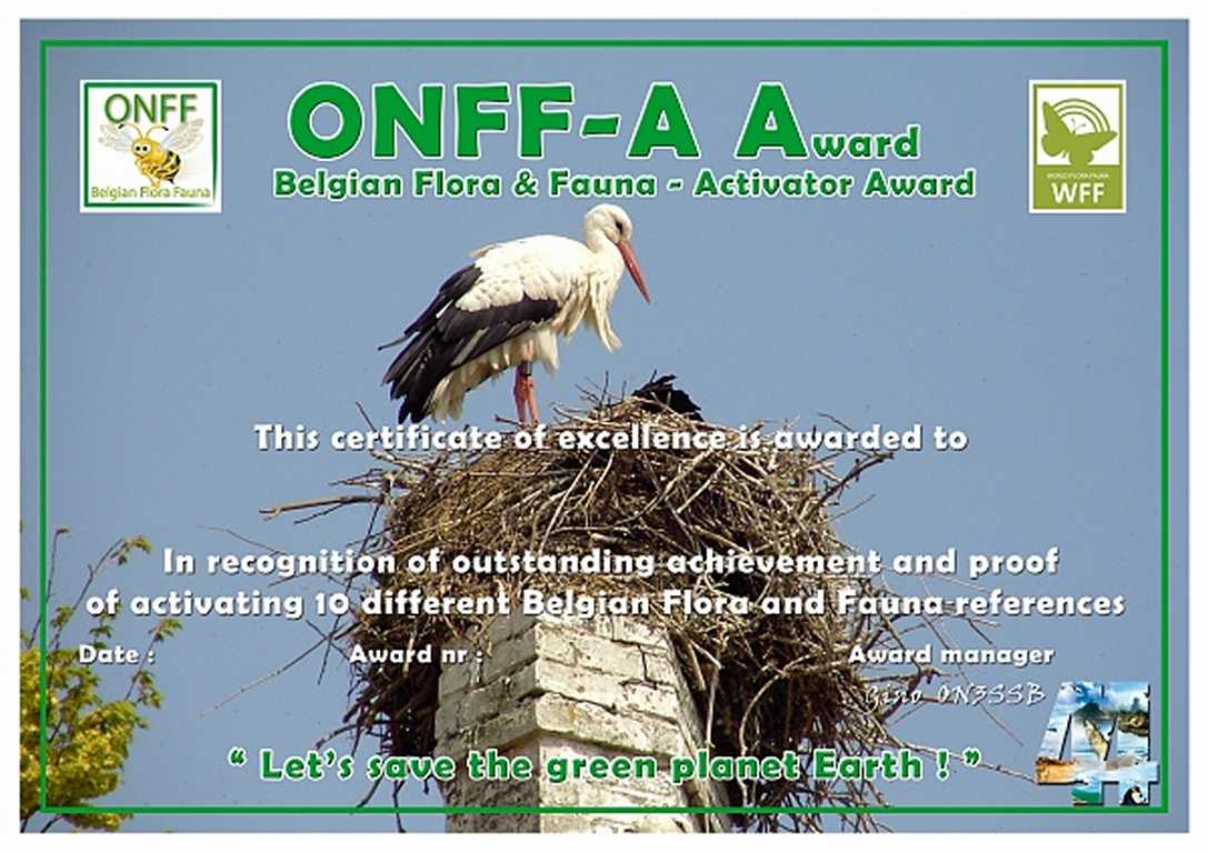
from their Office, Patrick Piesen ON7PP for the ONFF Logo design, Gino Vandeweghe ON3SSB
& to the Photographers of freeshare photography

Dealing with the latter two activations, Fox Island, Nunavut, Canada is located in the Hudson Bay 40Km East of Churchill, Manitoba. It is 4Km away from the mainland itself. At low tide an large number of Islands become visible where birds nest, seals, whales and other large animals are in abundance and this is why it is given the name ‘Polar Bear Capital of the World’. 3,600 qso’s were made from this location in the 66 hours of the operation giving stations from 61 DXCC’s the opportunity of the new IOTA.

Gilmour Island is 160Km West of Puvirnituq, Quebec and again, it is also in the Hudson Bay and part of the Ottawa group of Islands. Qso count for this Island was 3,087 and 66 DXCC’s worked despite being hampered with 80kmh winds and temperatures of below 0’ C.
….Recent update (tnx http://dx-hamspirit.com/ )
It appears that another trip is in the planning for 2010 too. Most keen IOTA chasers will be aware of the failed attempt by Ken G3OCA and himself to activate East Pen Island, Nunavut, NA-231 (Zone 4) back in 2007.
Having listened to his report at the HFC Wyboston it appeared that they were beset by problems, many of which were to do with the weather and indeed the indigenous persons fwho lived in the areas of interest to them. This in turn affected transport etc and as the unfortunate saga continued to drain away at their money and resources they had several wasted days before they had no option but to call it a day and return home.
For three days during the period March 26 – 31, 2010, Cezar will attempt again to activate this all time new IOTA. Intended callsign will be VY0V, which will be applied for in due course. At this time, Cezar is looking for group and individual donors who understand and appreciate the nature of this difficult project and are willing to join in the effort. Support for this project is welcome via PayPal at [email protected]
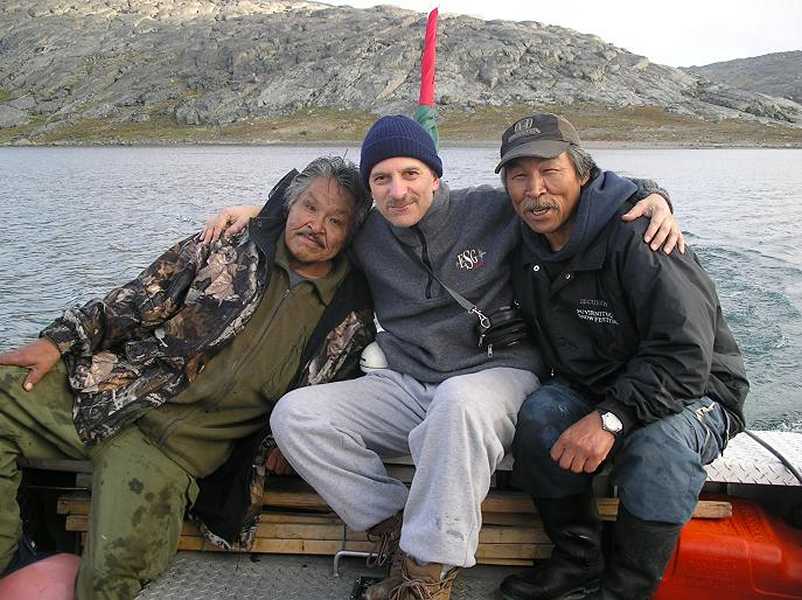
Thanks for the new ones (#459 & #460) Cezar, an outstanding achievement on all counts!
73 de Charles….
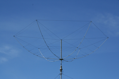
This version is very easy to erect even for a novice at antenna building and having built two of this particular version for our trip on Ramsey Island earlier in the year, i can personally recommend both their performance and build quality.
Several members of MC0SHL (Strumblehead DX & Contest Group) now use this as their main Station Antenna and they are very impressed with its performance and its ease of construction.
For more information on the Broadband Hexbeam, see the link ”G3TXQ – Hexbeam Kit” in the Menu to the left where you can be directed to some statistics as well as the contact details for MW0JZE.
73 de Charles………


